Status
Retired
Location
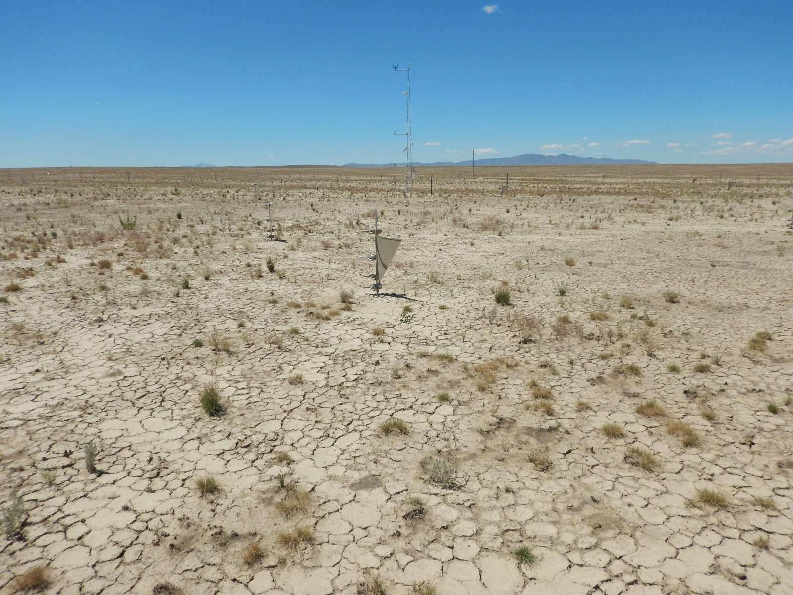
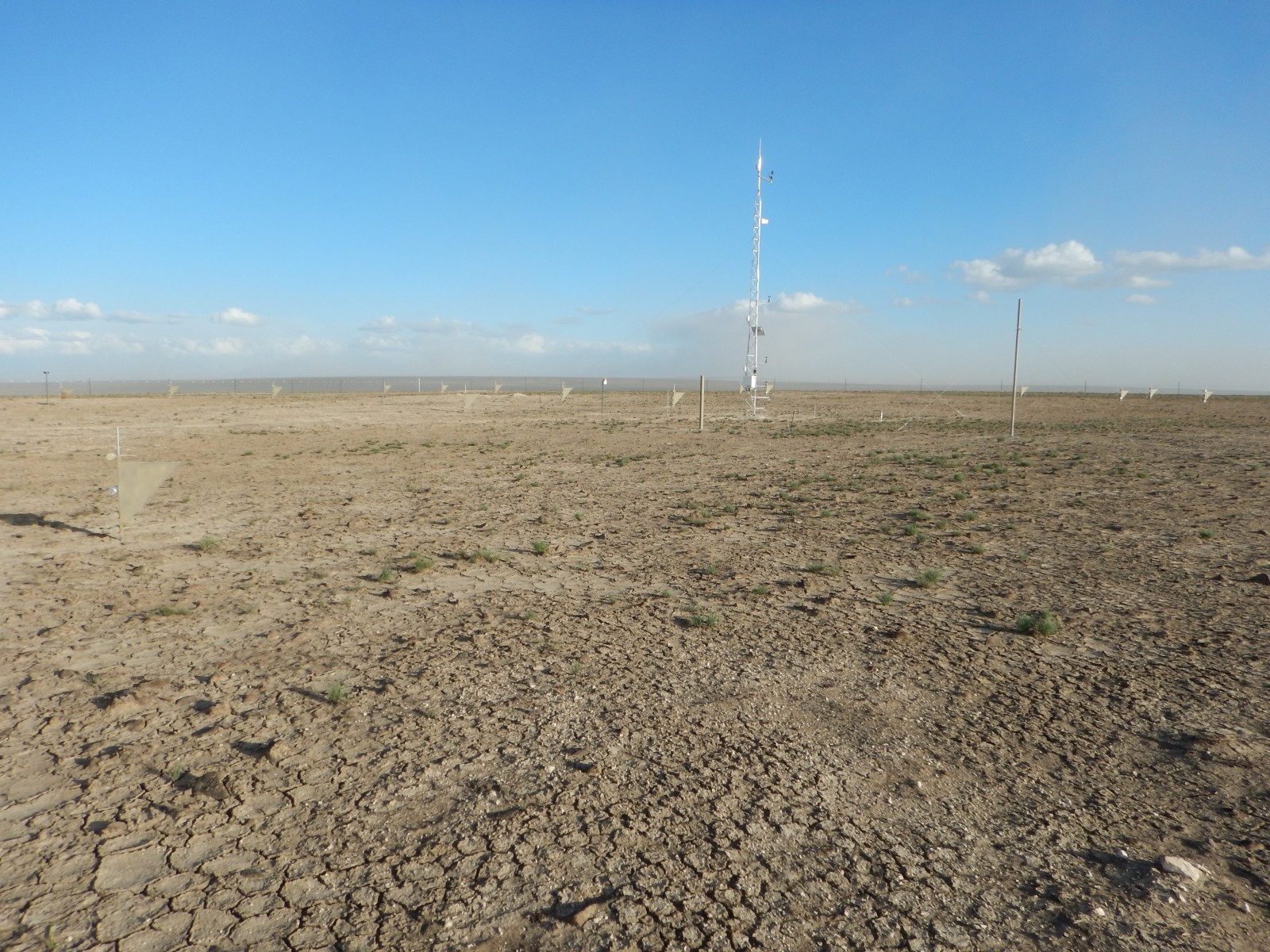
The Twin Valley National Wind Erosion Research Network site is located in north central Nevada and is managed by the USDA-ARS Great Basin Rangelands Research unit in Reno, Nevada. The site is 28 km south of Nevada’s tripoint border with Oregon and Idaho, at an elevation of 1668 m above sea level. The geographic setting is a plateau with low-sloped drainages and rolling hills, approximately 20 km east of the Calico Mountains in the Humboldt-Toiyabe National Forest.
Climate
Twin Valley has a semi-arid climate. The mean annual precipitation is about 200 mm, with the majority occurring as winter snow. Summers are warm and dry. Mean annual temperature ranges from 7 to 10 degrees C.
Vegetation and soil
In early July 2018, the Martin Fire in northern Nevada burned nearly 100% of the surrounding landscape of Twin Valley. Prior to the fire there was no specific information on vegetation species composition in the area. The range fire was hot and burned even the oldest, thick shrub stems down to 1 cm in height. A few small, local unburned patches of vegetation, and analysis of burned remnants, indicated that Wyoming big sagebrush (Artemisia tridentata Nutt. ssp. wyomingensis Beetle & Young) and Sandberg bluegrass (Poa secunda J. Presl) were probably the dominant species. Since the fire, Indian ricegrass (Achnatherum hymenoides (Roem. & Schult.) Barkworth), Thurber’s needlegrass (Achnatherum thurberianum (Piper) Barkworth), and cheatgrass (Bromus tectorum L.) have been the dominant cover species. Surface soil texture is a silt loam, and moderately well-developed biological crusts appeared to be prevalent before the burn. Subsurface soil down to ~50 cm is also silt loam, containing up to 20% gravel and 5% cobble and stone, with an indurated duripan beginning at about that depth.
Management
Rangeland, grazed by cattle and wild horses. The Bureau of Land Management (BLM) office in Winnemucca, Nevada manages grazing at this site.
Site Contact
Data
Click here to access the Campbell met data.

 National Wind Erosion Research Network