Status
Active
Location
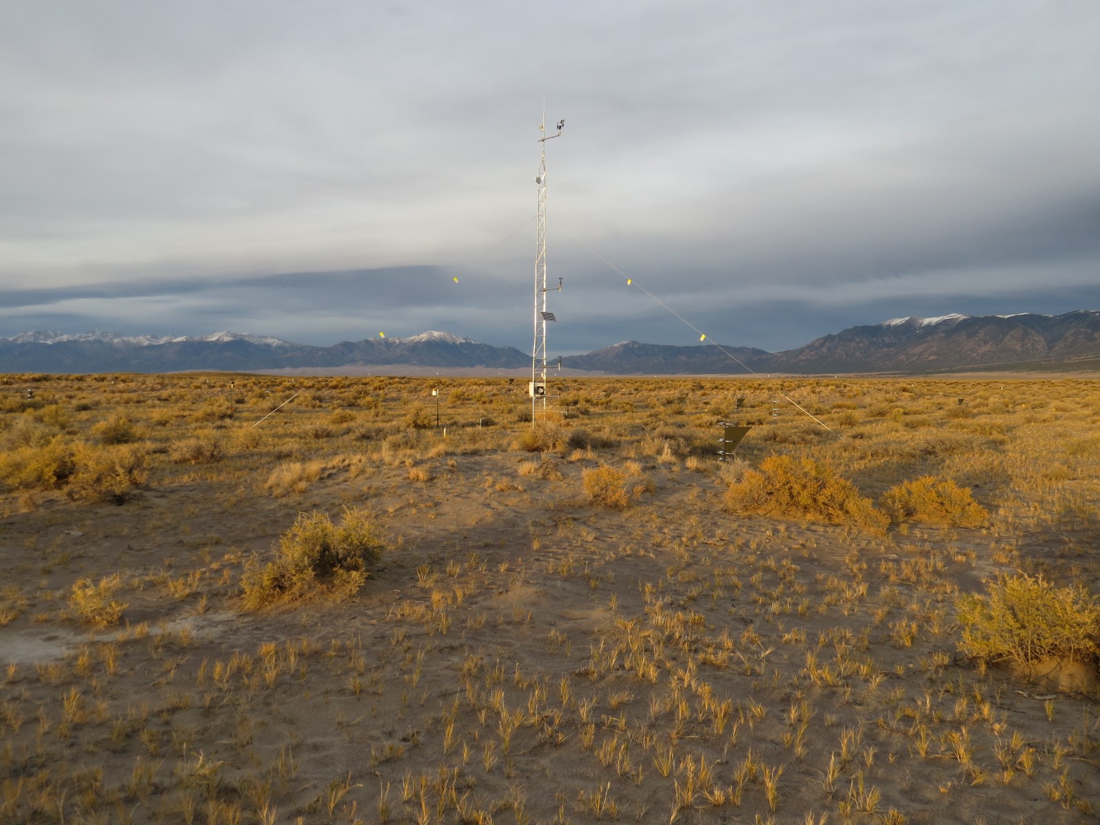
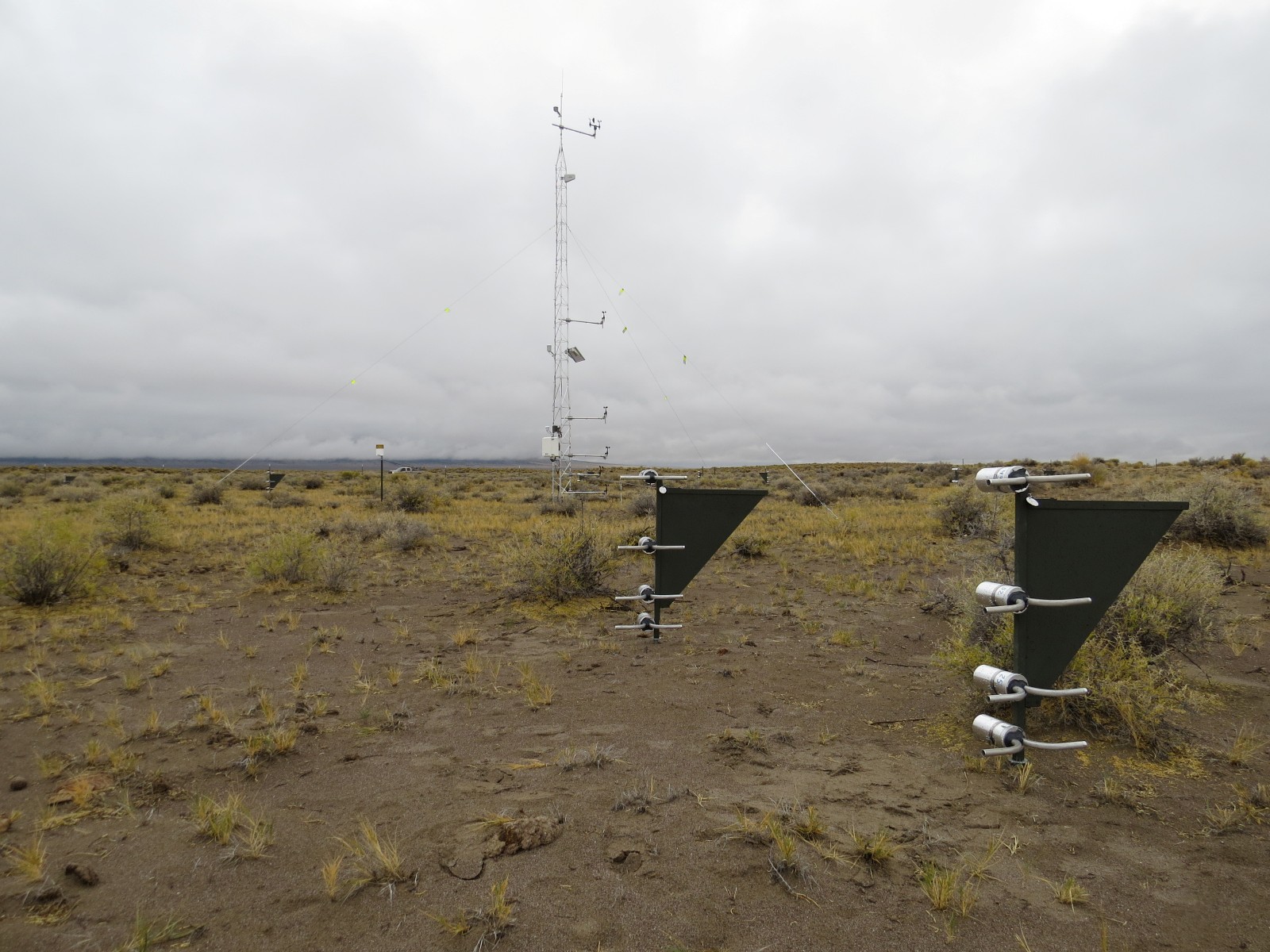
The San Luis Valley National Wind Erosion Research Network site is located within the San Luis Valley in south-central Colorado. The site lies to the southwest of the Great Sand Dunes within the Blanca Wetlands, immediately west of Blanca Peak in the Sangre de Cristo Mountains. The San Luis Valley site sits at a high elevation, 2300 m above sea level, with adjacent peaks reaching 4372 m in the Sangre de Cristo Mountains. The valley expands to the west and south as a broad, flat depositional section of the Rio Grande rift, supporting diverse agriculture and grazing.
Climate
The San Luis Valley has a semi-arid climate. The mean annual precipitation for the nearby town of Alamosa is 184 mm, including on average 84 cm snowfall. Typically most rainfall occurs in from May through October. Mean monthly minimum and maximum temperatures range from 8°C to 27°C in July and from -19°C to 0.6°C in January.
Vegetation and soil
Vegetation at the San Luis Valley Network site is dominated by widely dispersed greasewood (Sarcobatus vermiculatus (Hook.) Torr.) and saltgrass (Distichlis spicata (L.) Greene). Rubber rabbitbrush (Ericameria nauseosa (Pall. ex Pursh) G.L. Nesom & Baird) and sandhill muhly (Muglenbergia pungens Thurb.) occur mainly on the semi-mobile sand ridges. Soils at the site are a complex of coarser sandy soils derived from wind reworked alluvium with mixed mineralogy over finer textured natric sandy loam to clay loam soils derived from igneous and metamorphic rock. The sandy soils occur as semi-mobile sand ridges and dunes overlaying alluvial flats and deflation basins comprised of the finer textured soils. More stratification is evident in the finer textured soils owing to their formation in alluvium. Slopes at the site range from 0 to 7%. Physical crusting is present in the finer textured soils, particularly in the deflation pans, while cyanobacteria occur on coppice dunes that have formed beneath shrubs.
Management
Rangeland, periodically grazed by cattle and native herbivores.
Site Contact
Data
Click here to access the Campbell met data.

 National Wind Erosion Research Network