Status
Retired
Location
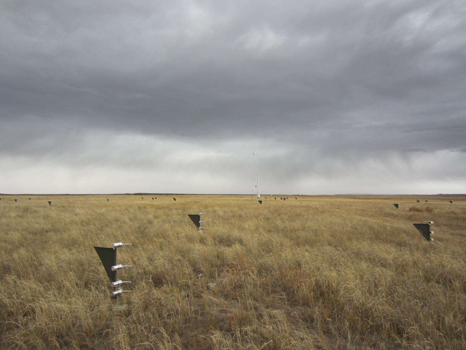
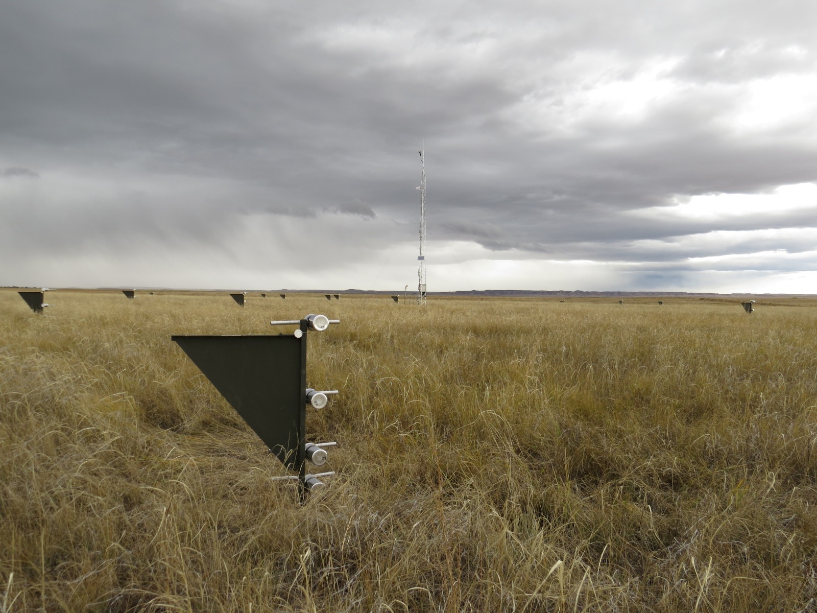
The Central Plains Experimental Range (CPER) Network site is managed as part of the USDA-ARS Long Term Agro-ecosystem Research (LTAR) network. The CPER site is located 40 km northeast of Greeley in the Shortgrass Steppe, surrounded by the Pawnee National Grassland in northern Colorado. The site is at an elevation 1650 m above sea level, in the rain shadow of the Rocky Mountains to the west. The landscape is characterized by gently rolling hills and low flat-topped terraces to the north.
Climate
The CPER has a semi-arid climate. The mean annual precipitation over the last 60 years is 320 mm. Typically 70% of the annual precipitation occurs between April and September. Mean monthly minimum and maximum temperatures range from 14°C to 34°C in July and from -9°C to 8°C in January.
Vegetation and soil
Vegetation at the CPER site is dominated by blue grama (Bouteloua gracilis (Willd. ex Kunth) Lag. ex Griffiths) and a mixed community of other C4 grasses, including sand dropseed (Sporobolus cryptandrus (Torr.) A. Gray) and the C3 squirreltail (Elymus elymoides (Raf.) Swezey), with high foliar cover. Sixweeks fescue (Vulpia octoflora (Walter) Rydb.) and blackroot sedge (Carex elynoides T. Holm) are also common at the site. Surface soil texture is a fine sandy loam over sandy clay loams. The soils are deep, well drained and formed in moderately coarse textured calcareous material. Slope at the site is 0%, while in the surrounding landscape slopes range from 0 to 15%. Physical soil crusts predominate in areas not disturbed by grazing animals or rodents.
Management
Rangeland research station, grazed by cattle.
Site Contact
Data
Click here to access the Campbell met data graphs.

 National Wind Erosion Research Network