 National Wind Erosion Research Network
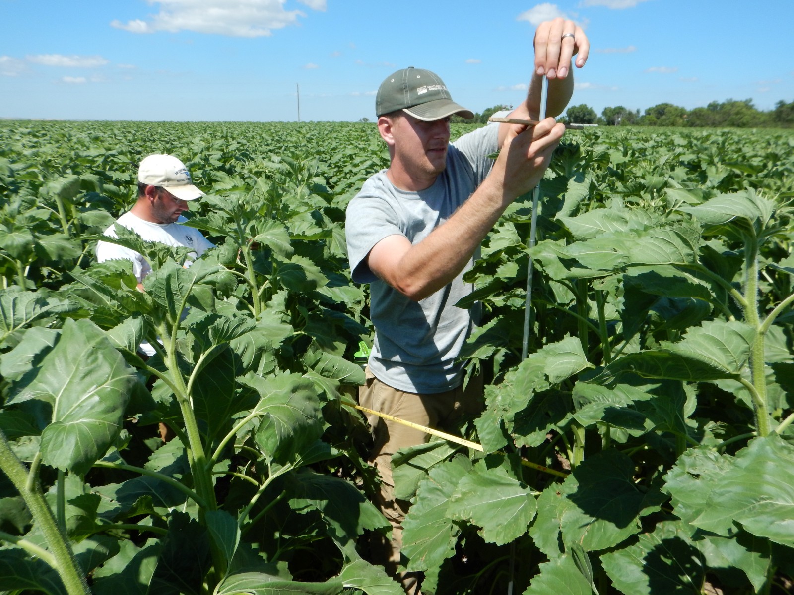
 Network site showing the meteorological tower.")
Status
![]() Active
Active
Location
The Mandan National Wind Erosion Research Network site is managed by the USDA Northern Great Plains Research Laboratory (NGPRL) and is part of the Long Term Agro-ecosystem Research (LTAR) network. The site is located on the Missouri Plateau within the Temperate Steppe Ecoregion of North Dakota, approximately 6 km south of Mandan. The site is at an elevation of 593 m above sea level.
Climate
The Mandan Network site has a semiarid continental climate, with evaporation typically exceeding precipitation in any given year. Average annual precipitation at the site is 410 mm and long-term growing season precipitation (Apr – Sep) is 330 mm. Average annual temperature is 4°C, though daily averages range from 21°C in summer to -11°C in winter. The average frost-free period is 131 days.
Vegetation and soil
The primary crops grown at the site are sunflowers (Helianthus annuus L.), soybean (Glycine max (L.) Merr.) and canola (Brassica napus L.). Gently rolling uplands (0-3% slope) characterize the prevalent topography of the area, and most soils possess a silty loess mantle overlying Wisconsin age till. The soil at the site is a Temvik-Wilton silt loam (Fine-silty, mixed, superactive, frigid Typic and Pachic Haplustolls).
Management
The Mandan Network site is located within a lease of 154 ha by the Area 4 Soil Conservation District (SCD). Since 1984, producers within the SCD have provided this land to NGPRL scientists to address production and environmental problems associated with dryland cropping systems. All crop production is under no-till management, and a broad portfolio of crop diversity treatments are investigated varying in scale (0.01 to 11 ha) and duration (6 to 27 years).
Site Contact
Data
Click here to access the Campbell met data.