National Wind Erosion Research Network
Published on National Wind Erosion Research Network (https://winderosionnetwork.org)

Home > Network Sites > Lordsburg Playa, NM (BLM)

Lordsburg Playa, NM (BLM) [1]

Status - Active

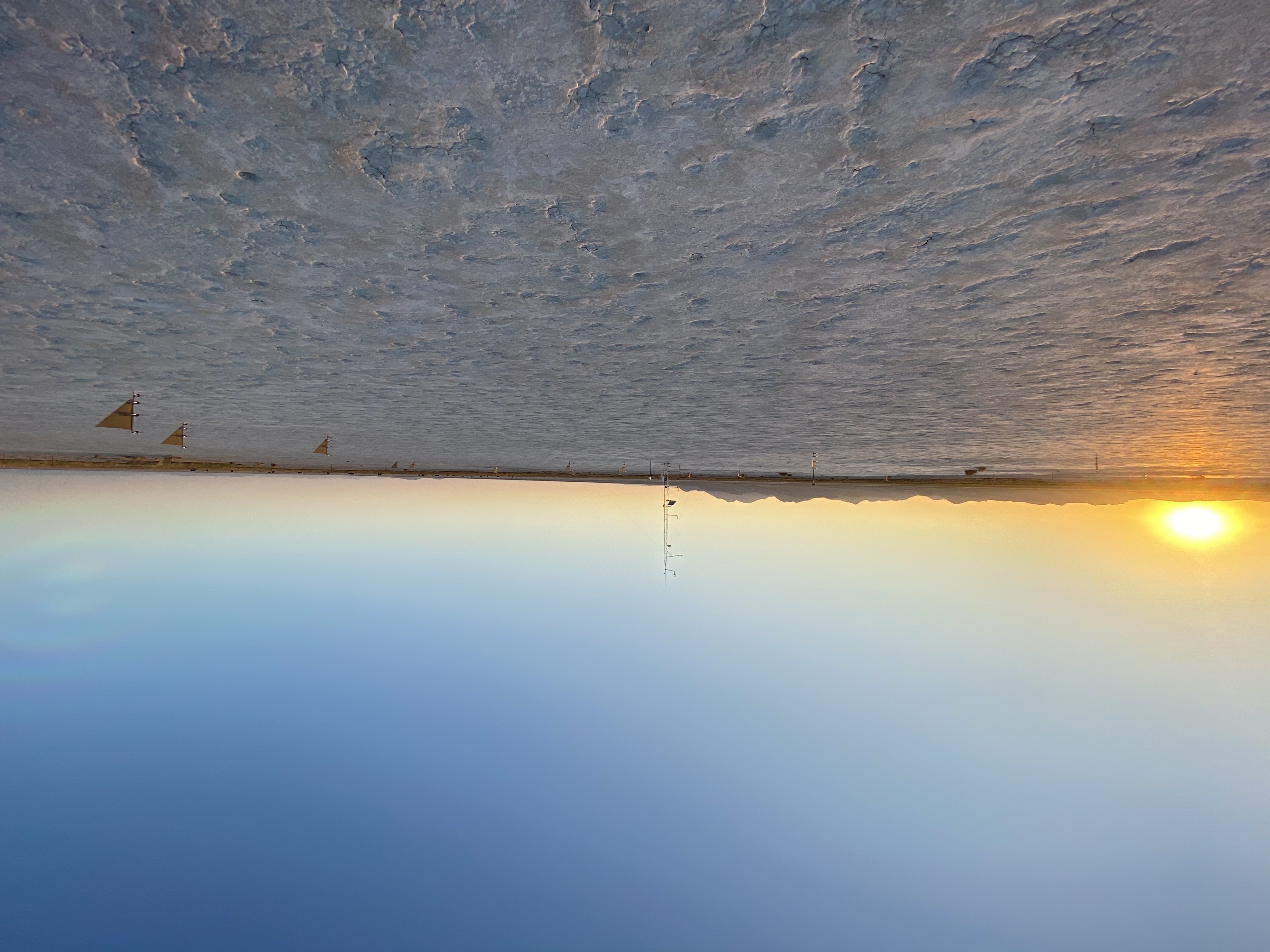
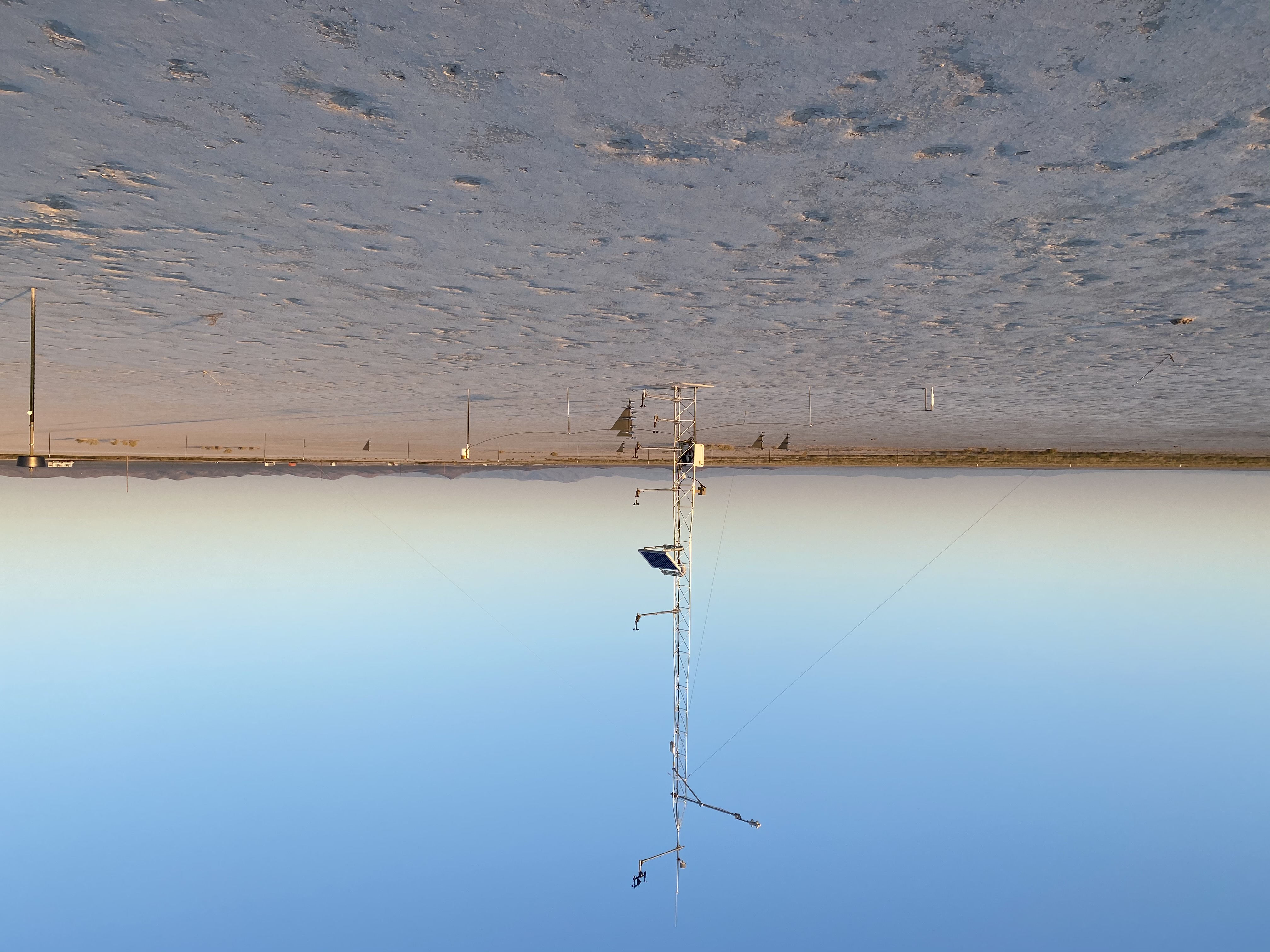
Location - The Lordsburg Playa Network site is located 20 km southwest of Lordsburg, New Mexico, on a dry lakebed.  The site lies in the northern Chihuahuan Desert, approximately 8 km east of the Peloncillo Mountain range, 13 km west of the Pyramid Mountains, and north of Interstate 10, at an elevation of 1267 m above sea level.

Climate -

Vegetation and soil - Vegetation at the Lordsburg Playa site is extremely sparse.  A few individual alkali sacaton (Sporobolus airoides (Torr.) Torr.) plants occur within the exclosure, with little else.

Management - Rangeland, grazed by cattle.  The Bureau of Land Management (BLM) District Office in Las Cruces, New Mexico manages grazing at this site.

Site Contact - Nicholas Webb [2]

Photos of the Lordsburg Playa (BLM) Network site.


Click here to access the Campbell met data. [3] 

Click here to access the Soil Moisture data. [4] 


This is a collaborative website hosted under guidelines described in ARS Policy and Procedures #030 (dated 11/13/2013), Section 4-14.  
Site Webmaster is Ericha Courtright, Server Administrator is Kris Bonefont, and Web Content Manager is Nicholas Webb.


Source URL:https://winderosionnetwork.org/network-sites/lordsburg-nm

Links
[1] https://winderosionnetwork.org/network-sites/lordsburg-nm [2] MAILTO:nick.webb01@gmail.com [3] https://rawmetdata.jornada.nmsu.edu/Lordsburg/index.html [4] https://rawmetdata.jornada.nmsu.edu/LordsburgMoisture/index.html